The landscape of surveying is changing, and this is good news for clients and their design teams.
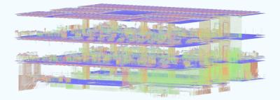
At Orms we generally ask our clients to procure 3D surveys for our projects. This allows us to start design work sooner with access to more detailed and accurate information. While 3D survey models are more expensive than traditional 2D, they save design team’s time and offer access to very detailed point cloud information. This can be invaluable on large scale or heritage projects.
Access to 3D surveys early in the design process means we don’t spend time modelling the existing building in 3D before design work can begin. 3D surveys provide access to more detailed information earlier and give more confidence to the client that design issues that may have been overlooked using 2D information will not go unnoticed.
At present, to turn point cloud data into an intelligent 3D model with doors, walls, roofs, floors, and windows someone needs to manually interpret data and model for every single item, but this might be changing soon. Multiple companies are now trying to automate the process, and once they’re successful this should hopefully translate into cheaper and faster 3D surveys for designers and clients.
The way point clouds are captured is also changing. It’s no longer the case that all data is scanned by a static station (scanner on a tripod), that needs to be moved by operator between rooms (and often into multiple locations within one room). Survey companies are starting to use mobile mapping stations more akin to those used by Google cars when mapping for Street View.
